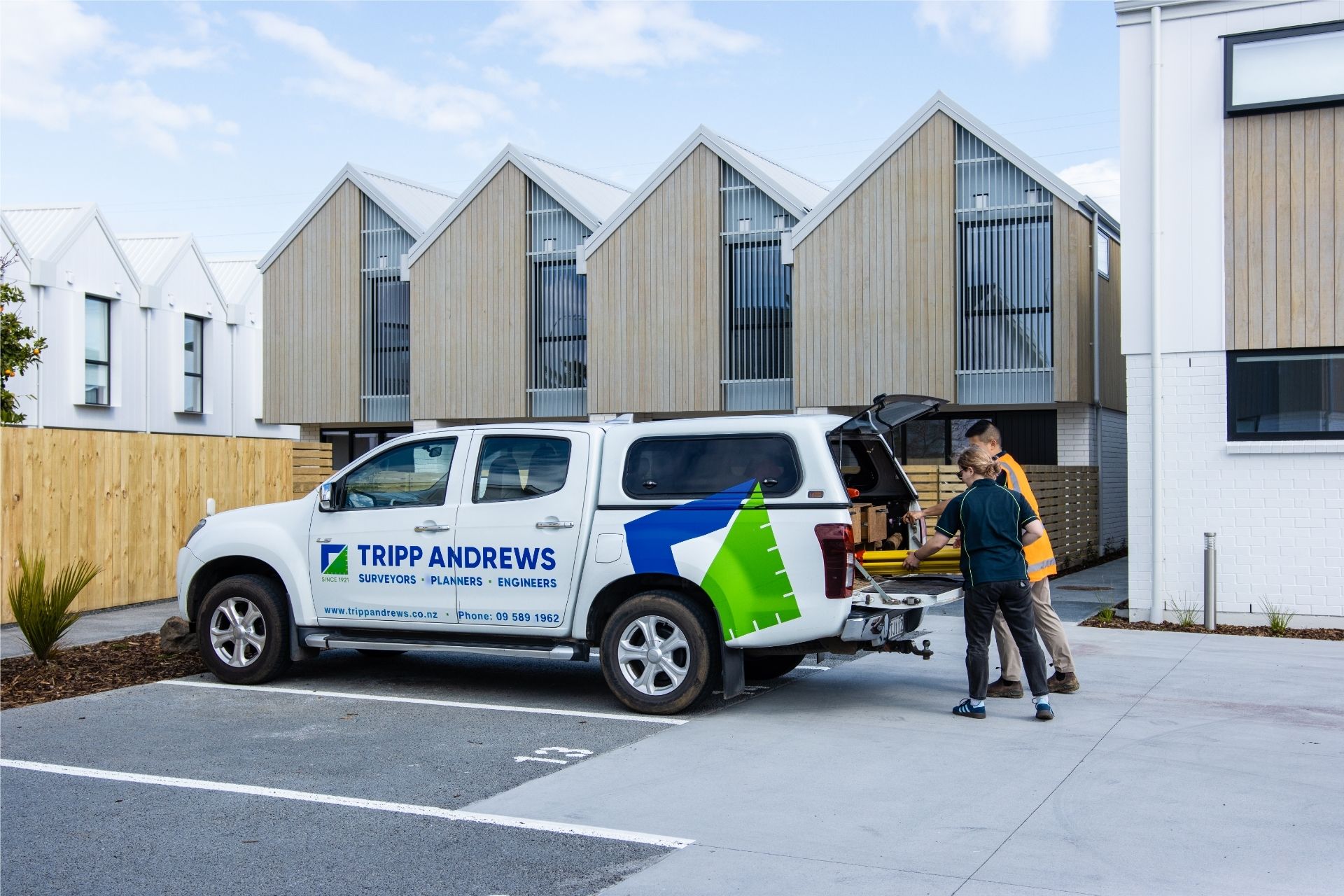
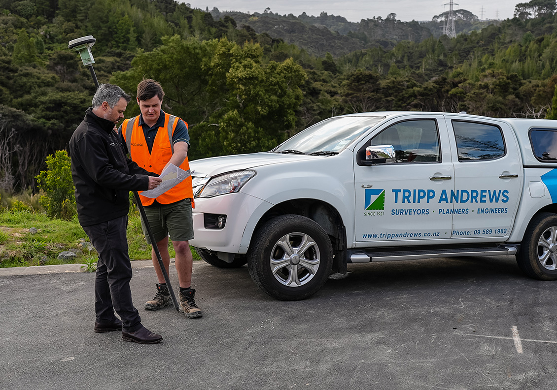
Tripp Andrews provides director-led land and land surveying services for residential, rural commercial, and development projects across Auckland and Waikato. As a multidisciplinary consultancy integrating planning, civil engineering, and surveying, Tripp Andrews brings the right expertise together from the outset of every project. By working collaboratively across disciplines, the team can save clients both time and money
Licensed Cadastral Surveyors (NZ)
LINZ-compliant documentation
Defined scope, clear pricing & timeframes
Surveying Auckland since 1921

A boundary redefinition survey confirms the legal position of property boundaries using historical survey evidence and precise field measurements. It is required when building near a boundary, constructing a boundary fence, resolving neighbour disputes, replacing missing boundary pegs, or clarifying legal limits.
Includes:

Cross lease titles must accurately reflect the building footprint and exclusive use areas. If alterations or extensions have occurred, an updated flats plan ensures the title remains compliant and reduces risk during sale, refinancing, or insurance review.
Includes:

Where a title is described as “limited as to parcels,” some or all of the property boundaries have not been fully defined by survey. A removal of limitations survey formally re-establishes legal boundary positions and upgrades title certainty.
Includes:

Accurate title information is critical before development or property transactions. We review registered interests to identify easements, covenants, consent notices, and other legal constraints affecting land use.
Includes:
Subdivision surveys are a core land surveying service that define new lot boundaries and prepare survey plans required for title issue. These surveys support residential, commercial, and rural development projects.
Includes:

Creating a new right of way outside a subdivision requires council approval under Section 348 of the Local Government Act. We prepare survey plans and manage documentation for legal registration.
Includes:
An asbuilt survey accurately records the final constructed location of infrastructure and services. These surveys are commonly required for subdivision completion and local authority sign-off.
Includes:

Before committing to development, a feasibility study identifies site constraints, services, title and planning restrictions, and likely approval pathways. Early assessment reduces risk and informs investment decisions.
Includes:

Setout surveys transfer approved design information onto site to ensure buildings and infrastructure are positioned accurately. Proper setout reduces construction errors and compliance risks.
Includes:
Building certification surveys confirm structures comply with approved consent documentation and regulatory requirements at key construction milestones.
Includes certification for:
Monitoring surveys measure movement in landforms or structures during construction or earthworks. High-precision instruments detect and report movement over time.
Includes:

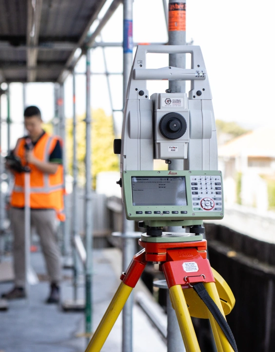
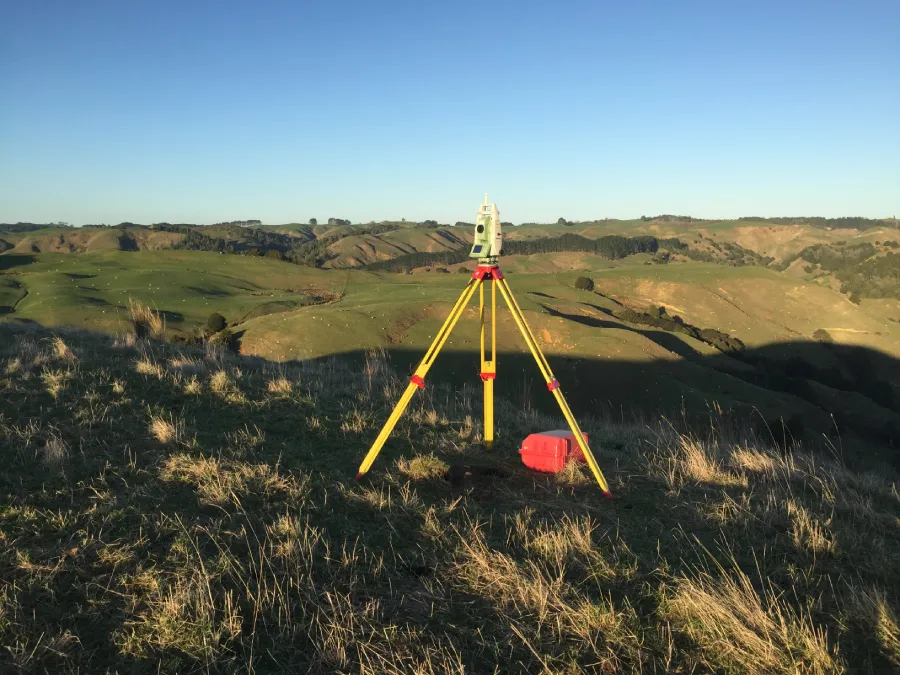
A topographic survey spatially maps contours, services, structures, vegetation, legal extents and site features. Architects and engineers rely on topo surveys as the foundation for accurate design and development planning.
Includes:

Drone (UAV) surveys provide high-resolution aerial imagery and mapped outputs for large or complex sites. They allow rapid data capture and efficient terrain modelling.
Includes:

A BOMA survey determines accurate rentable floor area in commercial and industrial properties. This reduces leasing disputes and supports transparent asset management.
Includes:
In most cases, we can confirm scope and provide a clear quotation within one business day once we receive the property address and a brief outline of your project.
Start times depend on current workload, site access, and whether council or Land Information New Zealand (LINZ) documentation is required. If your project has a specific deadline, let us know at the outset and we will confirm the earliest practical booking.
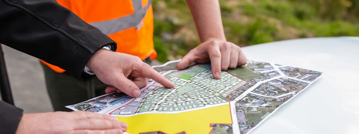
We review your project requirements, confirm the appropriate land or property surveying service, and provide a clear scope of work with expected timeframes and pricing.
We assess existing title information, historical survey records, and relevant documentation to ensure fieldwork is accurate and efficient.
Our licensed land surveyors complete precise field measurements using modern equipment and established survey control methods.
We prepare plans, certification, or cadastral documentation in accordance with LINZ standards and relevant local authority requirements, and provide support where coordination with consultants or council is required.
Tripp Andrews is a New Zealand Licensed Cadastral surveying practice with more than a century of experience supporting residential, rural, commercial, and development projects.
As part of a multidisciplinary land development consultancy, our surveyors work alongside planning and civil engineering professionals. This integrated capability allows us to support projects beyond measurement alone — assisting with subdivision approvals, infrastructure coordination, and development compliance where required.

We provide property surveying across Auckland, including central suburbs and surrounding areas. We also support projects in the Waikato. If you are unsure whether your property is within our service area, send through the address and we will confirm availability and timing.
Pricing depends on the type of survey, property size, site access, available boundary evidence, and whether council or LINZ requirements apply. The fastest way to get an accurate price is to send the property address and tell us what you need to achieve, and we will confirm scope and provide a clear quote.
Timeframes vary based on complexity and documentation needs. Some boundary location work can be completed quickly, while redefining boundaries or preparing formal cadastral outputs can take longer. We will confirm timing at the quoting stage so you can plan with confidence.
If you are building close to the boundary, accuracy matters. A survey can help confirm boundary location, reduce disputes, and support compliance decisions before construction begins.
Yes. We can complete cross lease and flats plan updates and advise on survey requirements where conversion is being considered. We commonly work alongside solicitors and other advisors to ensure the survey side is handled correctly.
A property address, a short description of what you want to do, and any relevant plans or documents you already have. Photos or screenshots can also help if access is difficult.
As surveying experts operating across Auckland and the Waikato, we understand that every property has unique challenges and opportunities. Our deliberately small, tight-knit team provides direct access to senior expertise, ensuring you receive personalised attention and streamlined solutions for your specific needs. From boundary definitions to complex development projects, we pride ourselves on building lasting relationships through clear communication and proven results.
When it comes to property development in Auckland or Waikato, accurate surveying isn’t just about measurements—it’s about protecting your investment and ensuring peace of mind. At Tripp Andrews, our Auckland and Waikato surveyors combine over 100 years of excellence with cutting-edge technology to deliver precise, reliable results that save you time, money, and potential headaches. Our licensed cadastral surveyors, topographical surveyors, and land surveyors help you avoid costly mistakes and ensure your property project starts on the right foundation.